The Suburban Blueprint and Its Limits
For most of the 20th century, American community development followed a clear script: single-family homes on cul-de-sacs, commercial strips accessible only by car, and a strict separation of residential, retail, and employment zones. This model - often called suburban sprawl - was shaped by federal highway investment, mortgage policy, and the post-WWII economic boom that made car ownership broadly attainable.
The results were transformative. Millions of families gained space, privacy, and homeownership. But the model also produced communities where a trip to the pharmacy, a school pickup, or a visit to a neighbor requires a car. For those who cannot drive - children, older adults, people with disabilities, and lower-income households - car-dependent design creates significant barriers to independence.
This tension is one reason a growing number of planners, residents, and policymakers are questioning whether the sprawl model still serves American life as well as it once did. Changing demographics, rising transportation costs, and shifting values around health and environmental impact have all contributed to renewed interest in alternatives. These shifts mirror broader patterns in how Americans evaluate their communities, echoing some of the same forces discussed in long-term consumer behavior shifts reshaping purchasing habits.
What the 15-Minute Concept Actually Proposes
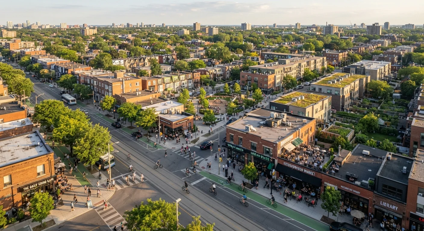
The 15-minute neighborhood model is built on a straightforward premise: daily life should not require a car. Proponents argue that when housing, retail, services, green space, and employment are mixed together at a human scale, residents benefit in measurable ways - shorter commutes, lower transportation costs, more physical activity, and stronger social connections.
Achieving this requires rethinking zoning. Most American municipalities still enforce single-use zoning rules that prohibit mixing housing with commercial uses in the same block or building. Reform efforts have focused on legalizing accessory dwelling units (ADUs), permitting corner stores in residential zones, and allowing higher-density housing near transit corridors.
“The city of the future is not the one that builds more roads, but the one that makes roads unnecessary for the activities of daily life.”
— Carlos Moreno, Urban scientist and originator of the 15-minute city concept, Université Paris 1 Panthéon-Sorbonne
Street design also matters. Sidewalk continuity, protected bike lanes, and reduced crossing distances are physical infrastructure changes that determine whether a neighborhood is actually walkable - not just theoretically close to amenities. Walkability scores, which rate neighborhoods based on proximity to services, have become a common tool for homebuyers evaluating communities, reshaping where some Americans choose to put down roots. This intersects with trends like the rise of multigenerational households, where proximity to services matters across multiple age groups.
American Cities Experimenting With the Model
Several American cities have moved from concept to policy. Portland, Oregon launched its '20-Minute Neighborhoods' initiative as part of a comprehensive plan that explicitly targets walkable access to daily needs. Minneapolis made national headlines in 2018 by eliminating single-family-only zoning citywide, allowing duplexes and triplexes across all residential zones. Arlington, Virginia has organized dense, mixed-use development along transit corridors for decades - a model often cited as a practical US example of proximity-based planning.
83%
Americans living in metropolitan areas
According to U.S. Census Bureau data, the vast majority of Americans live in metro regions, making urban and suburban design choices broadly consequential for daily life.
~$12,000
Annual average household vehicle operating cost
AAA's annual 'Your Driving Costs' study estimates that owning and operating a typical new vehicle costs American households roughly this amount per year, a figure that underscores the financial stakes of car dependency.
25%
Share of US greenhouse gas emissions from transportation
The U.S. Environmental Protection Agency identifies transportation as the largest single sector contributor to American greenhouse gas emissions, with personal vehicles making up the majority of that share.
Smaller cities and suburbs are also experimenting. Some communities are retrofitting aging strip mall sites into mixed-use town centers. Others are converting underused parking lots into housing or parklets. These efforts are incremental but signal a gradual shift in how local governments think about land use.
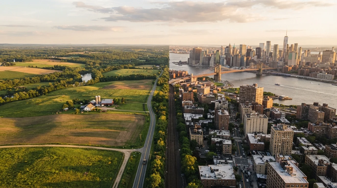
The contrast with conventional suburban development is sharper in some regions than others. In the Sun Belt, where sprawl expanded rapidly in recent decades, the gap between car-dependent and walkable environments is particularly pronounced - a divide explored in depth in the broader urban-rural divide shaping American life.
Equity, Resistance, and What Comes Next
The 15-minute model is not without critics or complications. One persistent concern is that walkability often functions as a luxury. In cities where it exists, it frequently correlates with high housing costs - meaning the residents who benefit most are often those with the most resources. Advocates argue this makes zoning reform and affordable housing policy inseparable from walkability goals; without them, proximity-based planning can accelerate gentrification rather than broaden access.
How to Evaluate Your Neighborhood's Walkability
Walk Score (walkscore.com) is a publicly available tool that rates addresses on walkability, transit access, and bike-friendliness based on proximity to amenities. It's a useful starting point for understanding how car-dependent your area currently is. Keep in mind that scores reflect proximity, not actual infrastructure quality - sidewalk condition and crossing safety matter too.
There is also cultural and political resistance. Car-centric infrastructure is deeply embedded in American identity and daily habit. Proposals to reduce parking minimums, add bike lanes, or increase density frequently meet organized opposition from existing residents concerned about neighborhood character, traffic, and property values.
Technology is adding new variables. E-bikes, cargo bikes, and improved transit apps are extending the practical radius of car-free or car-light living, even in areas that don't yet meet strict walkability thresholds. Meanwhile, remote work has decoupled some daily trips from fixed commutes, giving residents more flexibility about where and how they move through their communities.
The path forward is unlikely to be uniform across a country as geographically and culturally varied as the United States. But the conversation itself - about what Americans want from their neighborhoods, and what design choices make that possible - is clearly evolving.