Two Islands, One Country - But Very Different Worlds
New Zealand surprises many first-time visitors with how much its two main islands diverge. You could spend a week on the North Island exploring volcanic plateaus and vibrant Māori cultural sites, then cross the Cook Strait and feel as though you've entered an entirely different country - one of glacial valleys, dramatic fiords, and sky-scraping peaks. That contrast isn't accidental. The two islands formed through different geological processes and occupy slightly different climate zones, giving each a distinct personality that shapes both the landscape and the pace of travel.
For US travelers planning a New Zealand trip, understanding this divide is essential. It changes how you budget your time, what gear you pack, and what experiences you prioritize. Just as Iceland offers radically different experiences depending on the season - as explored in our Iceland seasonal comparison - New Zealand essentially gives you two trips within one destination.
~1,000 mi
Length of New Zealand's South Island coastline
The South Island stretches roughly 1,000 miles from its northernmost tip to the southern fiords, encompassing enormous geographic variety.
3 hrs
Ferry crossing time between the islands
The Cook Strait ferry between Wellington and Picton takes approximately 3 to 3.5 hours, passing through the scenic Marlborough Sounds.
~33%
Share of NZ population living outside Auckland
Auckland alone holds roughly a third of New Zealand's entire population, underscoring the North Island's urban concentration compared to the South.
The North Island: Warmth, Culture, and Geothermal Drama
The North Island is where most of New Zealand's population lives, and it shows. Auckland - the country's largest city - hums with urban energy, harbor views, and a diverse food scene shaped heavily by Pacific Island and Māori influences. Travelers who want to ground themselves in the living culture of Aotearoa (New Zealand's Māori name) often find the North Island more immediately immersive. Rotorua, a geothermal city near the center of the island, is famous for bubbling mud pools, geyser fields, and some of the country's most accessible marae (Māori meeting grounds) experiences.
The climate here is warmer and more forgiving year-round. Northern regions near the Bay of Islands can feel subtropical in summer. Even in the island's center, winter temperatures rarely become brutal. The volcanic Tongariro Alpine Crossing - one of the world's most celebrated day hikes - traces the craters of active volcanoes and rewards hikers with surreal, otherworldly terrain. If your travel style leans toward culture, coast, and manageable climate, the North Island is likely your anchor.
Time Your North Island Visit Around Tongariro
The Tongariro Alpine Crossing is best walked in summer (December through February) when snow and ice are less likely to close the track. Check the Department of Conservation's official alerts before setting out, as volcanic activity and weather conditions can change quickly on this exposed route.
The South Island: Alpine Grandeur and Fiordland Solitude
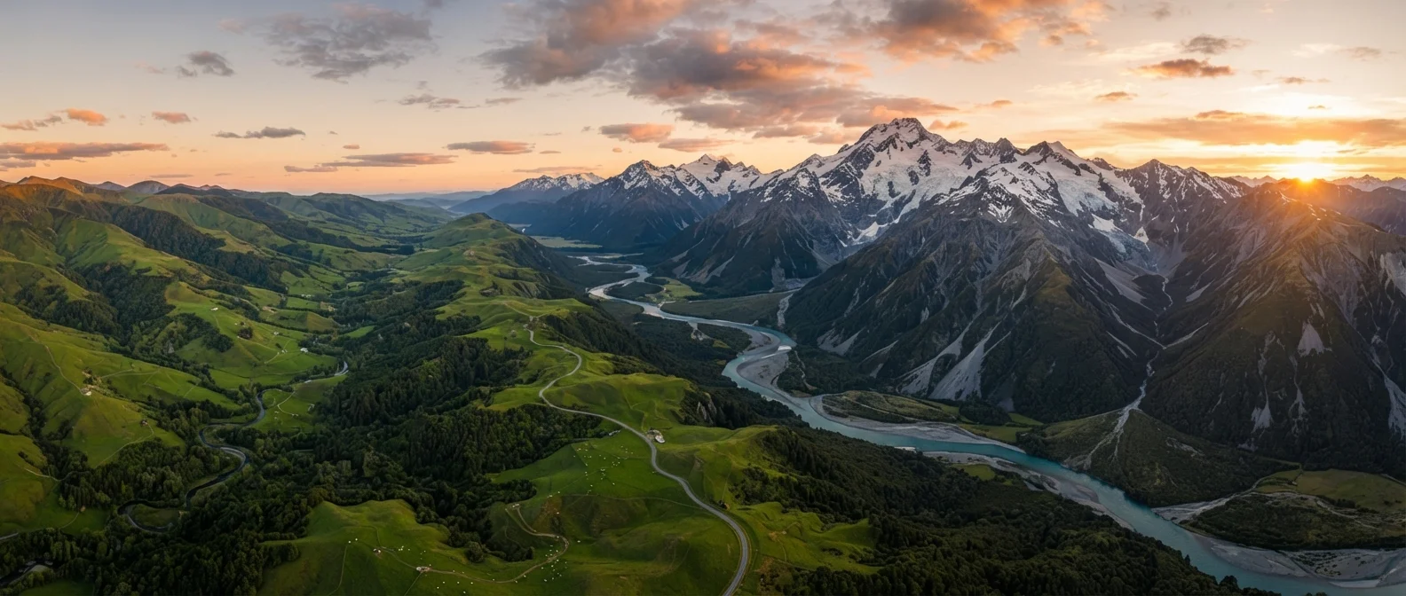
Cross the Cook Strait and the scenery shifts almost immediately. The South Island is dominated by the Southern Alps, a spine of mountains running nearly the full length of the island, and it is here that New Zealand's most iconic raw landscapes live. Fiordland National Park - home to Milford Sound and Doubtful Sound - sits at the island's southwestern edge and receives some of the highest annual rainfall anywhere on Earth, which feeds its impossibly lush walls of forest and waterfall. Further east, the Canterbury Plains open into the wide, braided river country around Christchurch.
Queenstown, the South Island's adventure capital, has built an international reputation around bungee jumping, skiing, jet boating, and multi-day backcountry hiking tracks called Great Walks. The Fiordland and Mount Aspiring regions draw serious trekkers from around the world. For travelers who find their ideal trip balancing coastal scenery with mountain drama, the South Island delivers both within a single road trip. The tradeoff is a cooler, more unpredictable climate - particularly in the fiord country, where rain is a near-constant companion.
South Island Weather Can Shift Rapidly
Fiordland and the West Coast receive some of the highest rainfall in New Zealand - and in the world - due to moisture-laden westerly winds hitting the Southern Alps. Even in summer, visitors should pack waterproof layers and remain flexible about itinerary timing. This unpredictability is part of the region's wild character, but it requires realistic planning.
Planning a Trip That Honors Both Islands
The temptation is to rush - to tick off both islands in a breathless two-week sprint. Experienced travelers to New Zealand generally caution against this. The distances are longer than maps suggest, and the landscapes reward slower pacing. A more thoughtful approach is to let your primary interest lead: if wilderness and dramatic terrain call to you, anchor in the South Island and make a shorter visit north. If culture, urban energy, and geothermal experiences are higher on your list, give the North Island its due weight.
The ferry crossing between Wellington and Picton is itself worth building into the itinerary. The route cuts through the Marlborough Sounds - a labyrinth of drowned valleys and forested inlets - and offers some of the most memorable scenery of any inter-island transit in the world. Whether you compare the two islands before your trip or discover the differences firsthand, New Zealand's geographic divide is less a logistical puzzle and more an invitation to see one small country through two very different lenses. Much like the Caribbean's often-underestimated island-to-island contrasts, the gap between New Zealand's north and south is wider than any map makes it appear.