Plan Your Route Before You Rely on GPS
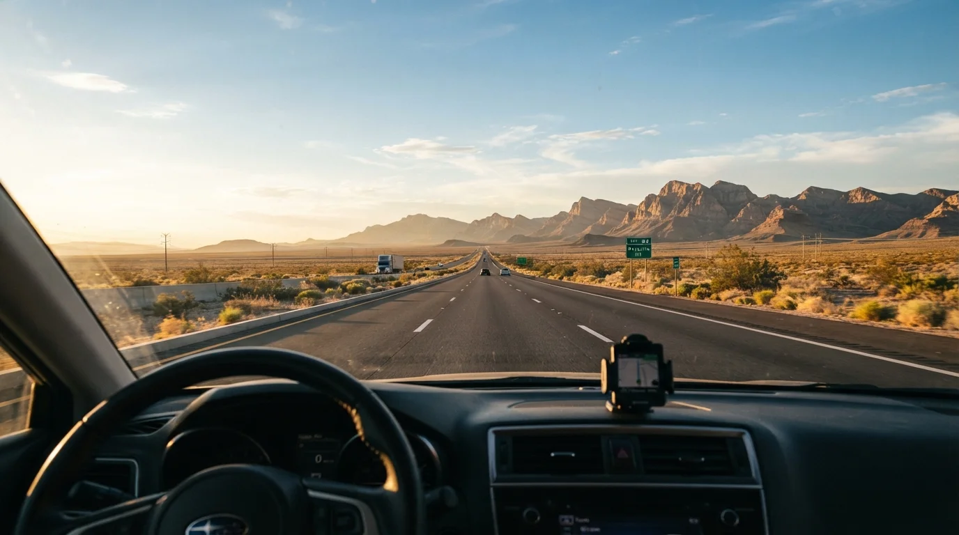
GPS apps are convenient, but they can't replace understanding your route in advance. Before leaving, study the major interstates you'll use, identify the states you'll cross, and note stretches with limited services - particularly through the Mountain West and rural Plains states, where gas stations and cell towers can be many miles apart.
Consider alternate routes as a backup. Major interstates like I-40, I-80, and I-90 are well-traveled and relatively well-serviced, but each crosses dramatically different terrain and weather patterns. If you're drawn to the Southwest corridor, the Southwest road trip route breakdown covers the logistics of the key corridors in practical detail.
Download offline maps before departure. In remote sections of Nevada, Wyoming, or West Texas, you may have no data signal for an hour or more. Offline navigation eliminates one stress point entirely.
Cell Coverage Gaps Are Real
Significant stretches of US interstate - especially in the rural West and Plains - have no reliable cellular coverage. Download your full route as an offline map before you leave populated areas. Some drivers also carry a paper atlas as a backup, which remains useful in areas where digital tools fail.
Get Your Vehicle Road-Ready
A long drive puts real stress on a vehicle. Before any cross-country trip, run through the basics: tire pressure and tread depth, engine oil level, coolant, brake fluid, windshield washer fluid, and the condition of your wiper blades. Check that all exterior lights work. If your car is overdue for an oil change or tire rotation, take care of it before you leave - not after.
If you're uncertain about your car's condition, a pre-trip inspection from a qualified mechanic is worth the time and cost. They can flag issues that might not be obvious to a non-mechanic, like worn belts or a battery approaching end of life. The car maintenance hub has practical guidance on what to monitor and when to seek professional service.
Check your tire pressure the morning you leave, not the night before - cold inflation readings are more accurate and tires lose pressure overnight in cooler temperatures.
Tire pressure affects handling, fuel economy, and blowout risk; starting a long drive on properly inflated tires reduces all three concerns.
If your car has a trip computer, reset it at the start of the drive to track real-time fuel economy - it will signal earlier than your gauge if something is off with engine performance.
Unusual fuel consumption is often an early indicator of mechanical issues that are easier and cheaper to address before they become breakdowns.
Driving Stamina: How Far Is Too Far in One Day
One of the most common mistakes first-time long-distance drivers make is overestimating how far they can comfortably drive in a single day. Eight to nine hours of actual driving time is generally considered a reasonable daily limit for most adults - and that doesn't account for stops, fuel, meals, or detours.
Fatigue impairs judgment and reaction time in ways that can be difficult to self-assess while behind the wheel. If you start to feel drowsy, the right move is to pull over safely, not push through. Caffeine can help temporarily, but it doesn't replace rest.
Build buffer into your itinerary. If you plan 10 hours of driving and everything goes smoothly, you'll arrive tired but fine. If anything goes wrong - a traffic delay, a detour, a flat tire - you'll be running behind and exhausted simultaneously. Planning for 7-8 hours of driving a day gives you room to breathe.
Drowsy Driving Is a Serious Hazard
Research consistently shows that driving while significantly fatigued impairs reaction time in ways comparable to alcohol impairment. If you feel your attention drifting or find yourself unable to recall the last few miles, pull over at the next safe opportunity. A 20-minute rest or a switch with another driver is far safer than pushing through.
Rest Stops, Fuel, and Food Strategy
Interstate rest areas are spaced at regular intervals across most of the country and offer parking, restrooms, and sometimes travel information. Use them. A 15-minute walk and stretch every two hours does more for alertness than most people expect.
Fuel strategy matters more in western states. In areas like eastern Nevada, rural Montana, or the Texas Panhandle, you may encounter stretches of 70 or more miles between services. Make a habit of refueling when your tank hits half - don't wait for the low-fuel light in unfamiliar territory.
Heavy meals slow you down. Many experienced road-trippers eat lighter during drive time and save larger meals for evenings. Snacks, water, and easy food you pack yourself are both cheaper and more controllable than fast food timing.
~3,000 mi
Typical coast-to-coast driving distance
A New York to Los Angeles route via I-40 covers roughly 2,800-2,900 miles depending on the exact path taken.
8-9 hrs
Recommended max daily driving time
Road safety organizations generally advise against driving more than 8-9 hours per day to reduce fatigue-related risk.
100+ miles
Service gaps in remote western stretches
Certain rural sections of Nevada, Wyoming, and West Texas have fuel and food services spaced 80-120 miles apart.
Safety Essentials Every Driver Should Pack
A basic emergency kit in your trunk can make an inconvenient situation manageable instead of dangerous. At minimum, carry jumper cables or a portable jump starter, a flashlight, a reflective triangle or road flares, a first aid kit, and a basic toolkit. A spare tire in working condition - and knowing how to use it - matters more than most drivers realize until they need it.
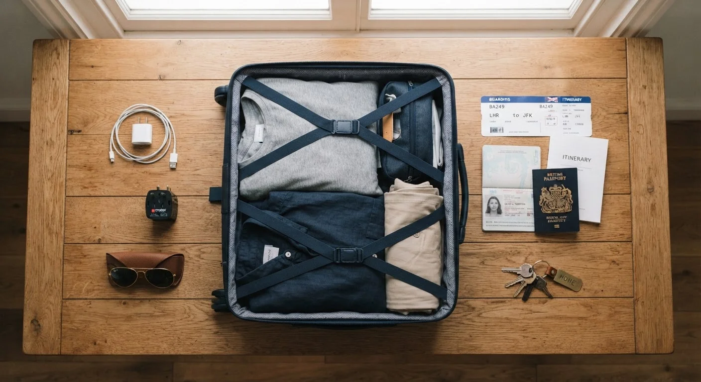
Keep physical copies of important documents: your driver's license, insurance card, vehicle registration, and any roadside assistance membership info. Phone batteries die; paper doesn't. Check the pre-trip checklist for a broader list of what to confirm before you leave home.
If your route takes you near national parks or scenic areas, plan ahead - some areas have limited parking, entrance reservations, or access restrictions. Our guide to visiting US national parks for the first time covers what to expect.
Navigating Weather and Road Conditions
Weather across the continental US varies enormously - sometimes within a single day's drive. A route that begins in sunny desert conditions can end in high-altitude snow or severe thunderstorms. Before leaving, check forecasts for every state on your itinerary, not just your starting point and destination.
Mountain passes in states like Colorado, Utah, Wyoming, and Montana can close or require chains during winter and shoulder-season storms. Check state department of transportation websites for road conditions and any active restrictions - these are free, regularly updated resources. In summer, heat is the concern: extreme temperatures in the Southwest can stress vehicles, particularly older cooling systems.
If conditions look dangerous, adjusting your schedule or taking an alternate route is always the right call. No timeline is worth the risk of driving through severe weather unprepared.
Use State DOT Sites for Real-Time Road Info
Every US state maintains a department of transportation website with live road condition updates, construction alerts, and closure notices. Bookmarking the DOT pages for each state on your route takes five minutes and can save hours. Most also have text or phone hotlines if you're driving without reliable data.