Why the Southwest Rewards Road Trippers
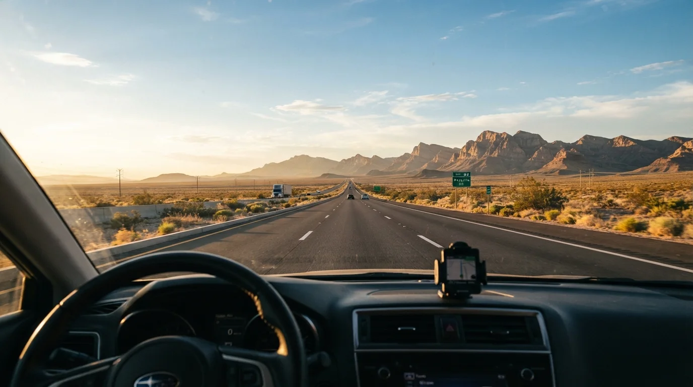
Few regions in the United States compress so much geological drama, Indigenous history, and open-road freedom into a single driving area. From the terracotta arches of Utah to the saguaro-studded flats of southern Arizona, the American Southwest is a place where the landscape changes faster than the mile markers suggest it should. That variety is precisely why it rewards the road tripper over the fly-in visitor - you feel the scale of it at 65 miles per hour in a way no window seat ever quite captures.
Yet the Southwest is also genuinely unforgiving terrain. Summer temperatures in the Sonoran Desert regularly exceed 110°F. Cell towers can be separated by 80-mile gaps in rural Nevada and New Mexico. Water - drinkable, accessible water - is a logistical concern, not an afterthought. Understanding which route you're on, and what it actually demands, is the difference between a trip you remember fondly and one you'd rather forget.
For a broader grounding in long-distance driving preparation, the Interstate Road Trip guide covers the practical foundations that apply across all Southwest routes.
5
Utah national parks linkable in one loop
Utah's Mighty Five parks can be connected in a single driving circuit of roughly 800 miles.
110°F+
Peak summer temperatures in the Sonoran Desert
The National Weather Service regularly records extreme heat events above 110°F in southern Arizona and Nevada desert corridors during July and August.
90 miles
Maximum gap between fuel stations on remote routes
On certain stretches of eastern Utah and rural New Mexico, gas stations can be separated by 60 to 90 miles of highway.
The Classic Arizona Loop
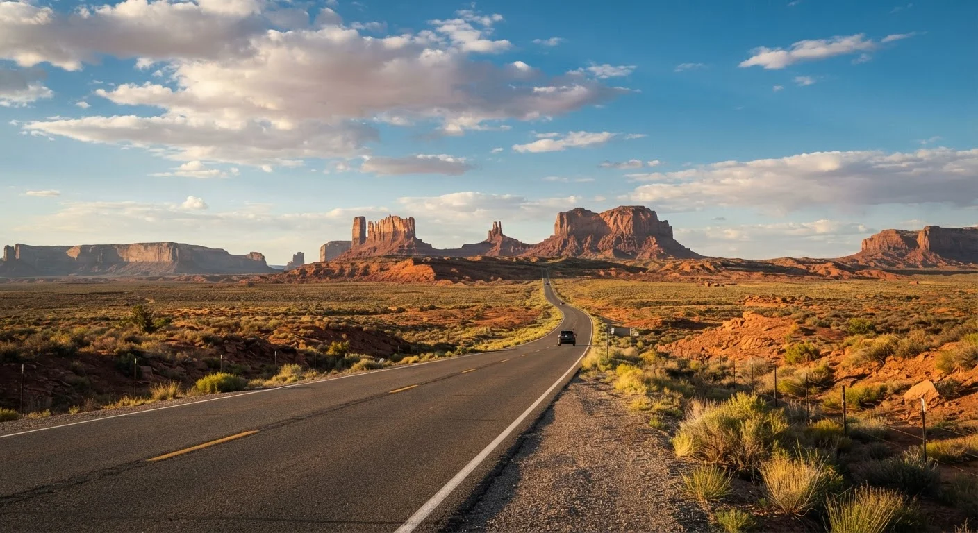
The most popular entry point for Southwest road-trippers typically anchors around Phoenix or Flagstaff, connecting Sedona's red rock country, the South Rim of the Grand Canyon, Monument Valley on the Arizona-Utah border, and the Navajo Nation's sweeping landscape. This loop runs roughly 600 to 800 miles depending on detours, and it's manageable in five to seven days without feeling rushed.
Sedona functions as an ideal opening act - the drive north on SR-89A through Oak Creek Canyon is one of the genuinely great scenic drives in American geography, and the town itself has enough restaurants and trailheads to justify two nights. The Grand Canyon South Rim requires a reservation for lodging far in advance; arriving without one during peak season means driving an hour each direction from Tusayan or Williams. Monument Valley, operated by the Navajo Nation Tribal Park, charges its own entrance fee separate from the National Park system and deserves more than a windshield drive-through.
Start Your Arizona Loop in Flagstaff
Flagstaff sits at 7,000 feet, making it a natural staging point that avoids the Phoenix heat entirely. It has genuine town character - a historic downtown, proximity to Wupatki and Walnut Canyon national monuments, and a university-town energy - and positions you perfectly for both the Grand Canyon and Sedona without backtracking.
The Arizona corridor is the most forgiving of the three major Southwest routes in terms of services and road quality, making it a natural starting point for first-timers.
The Utah National Parks Circuit
Utah's so-called Mighty Five - Zion, Bryce Canyon, Capitol Reef, Canyonlands, and Arches - can be strung together in a roughly 800-mile loop, typically bookended by Las Vegas or Salt Lake City. This is the most scenically dense route in the entire Southwest, and it's also the one most likely to catch travelers off guard with its operational complexity.
Zion now requires shuttles for most of the canyon during peak season; private vehicles cannot access the main canyon road from spring through fall. Arches and Canyonlands near Moab have introduced timed-entry reservation systems in recent years that fill quickly. Capitol Reef, by contrast, remains comparatively uncrowded and offers a different, quieter texture - fruit orchards planted by Mormon settlers, narrow waterpocket folds, petroglyphs from the Fremont people. It's the park most worth lingering in when everywhere else feels overrun.
Book Arches and Zion timed-entry permits the moment they open - often months before your trip - and build your Utah itinerary around those locked dates rather than treating them as flexible.
Timed-entry systems at Utah's most popular parks fill on opening day, and travelers who plan around permit availability rather than dates are far less likely to be turned away at the gate.
On the New Mexico corridor, drive Hwy 64 through the Taos Gorge at dusk when possible - the Rio Grande's 650-foot canyon turns amber and the light is unlike anything earlier in the day.
Lighting conditions in canyon country shift dramatically at golden hour, transforming landscapes that appear flat and washed-out midday into vivid, textured scenes worth timing your driving around.
The driving between parks on this circuit is not incidental scenery - Highway 12 between Bryce and Capitol Reef is widely considered one of the most spectacular paved roads in the country, cresting ridgelines with thousand-foot drop-offs on both sides.
The New Mexico Cultural Corridor
New Mexico is the route least shaped by national park marquee names, and that's largely what makes it singular. The spine of the journey runs along the Rio Grande from Albuquerque north through Santa Fe and Taos, then loops west toward Chaco Culture National Historical Park and the landscapes of the Navajo Nation before returning south through the White Sands region.
Santa Fe, at 7,000 feet elevation, is the cultural anchor - its adobe architecture, museum density, and chile-forward food scene have no real equivalent elsewhere in the Southwest. The Georgia O'Keeffe country around Abiquiú and Ghost Ranch, an hour north, explains the painter's obsession in a way no museum exhibit can. Chaco Canyon, a UNESCO World Heritage site, requires 20 miles of unpaved road to access and has no services - it's one of the most significant pre-Columbian sites in North America, and one of the most undervisited.
For a deeper look at how to research culturally layered destinations like these before you book, this destination research guide offers a useful framework. New Mexico also connects naturally to the kinds of lesser-known cities worth anchoring a trip around that reward travelers willing to slow down.
Chaco Canyon Road Conditions Can Change Fast
The 20-mile dirt road into Chaco Culture National Historical Park becomes impassable in wet weather, with no warning signs at the turnoff. Always check current road conditions with the park directly before making the drive out. Do not attempt the road in a standard low-clearance rental vehicle after rain.
Logistics That Change Everything
Across all three corridors, a handful of practical realities separate comfortable trips from stressful ones. Fuel is the most immediately important: on remote stretches of US-89 in Arizona, Highway 191 through eastern Utah, or the roads into Chaco, stations can be 60 to 90 miles apart. Carrying a small emergency fuel container is not excessive caution in these places - it's standard practice among experienced Southwest drivers.
Water is the other non-negotiable. Trailheads in desert parks frequently run dry or carry only treated water with inconsistent availability. Carrying more than you think you need - a gallon per person per hiking day as a minimum - is the baseline. Heat also changes the math on departure times: starting hikes by 7 a.m. and being off exposed terrain by noon is standard desert etiquette for good reason during summer months.
Cell coverage maps from major carriers are unreliable in these landscapes. Downloaded offline maps, a physical road atlas for the region, and a note to someone about your itinerary are practical steps that cost almost nothing. The Driving & Road Life hub has further guidance on vehicle preparation and navigation tools suited to remote driving.
Verify Entry Requirements and Conditions Before You Go
National park reservation systems, tribal park fees, and road closures in the Southwest change regularly. Always verify current conditions, entry requirements, and reservation availability through official park and tribal sources before your departure date. This is particularly important for Monument Valley and Navajo Nation lands, which operate under separate governance from the National Park Service.
Planning Your Route Intentionally
One of the more common mistakes Southwest road-trippers make is treating these corridors as a checklist - Zion, check; Grand Canyon, check - rather than as coherent journeys with their own internal logic. The routes that feel most satisfying tend to be those that alternate between high-density iconic stops and slower, quieter stretches where the landscape settles in.
If you're deciding between routes, the Arizona loop works best for travelers who want reliable infrastructure and a relatively forgiving first Southwest experience. The Utah circuit suits those prioritizing dramatic visual scenery and who don't mind more logistical planning. The New Mexico corridor rewards travelers who want cultural and historical depth alongside geology - and who are comfortable with occasional stretches of genuine remoteness.
For travelers venturing into a Southwest route for the first time as an independent journey, the Independent Traveler's Roadmap addresses the planning mindset that makes these trips cohere. The Southwest, done well, is not a series of stops. It's a continuous act of paying attention to an ancient, demanding, and extraordinary landscape.
“The desert tells a different story every hour. You have to slow down to read it.”
— Edward Abbey, American author and environmental advocate, known for writings on the American Southwest